Illustration & 3D
Realistic, Highly Detailed Geographic Map Viewed From Above, Accurately Representing
Use Cases
- Suitable for Illustration & 3D AI image generation workflows, with reusable structure for fast iteration.
- Best for stable, style-consistent outputs in iterative generation.
Notes
- Replace placeholders (such as
[OBJECT]and{variable}) with concrete subjects and contexts. - Keep core constraints first (composition, lighting, lens, materials), then add style modifiers gradually.
- If results become noisy, reduce prompt density and reintroduce key elements step by step.
#Illustration & 3D
Author@KerroudjmSource URLhttps://x.com/Kerroudjm/status/2008937653694013753
Prompt Template
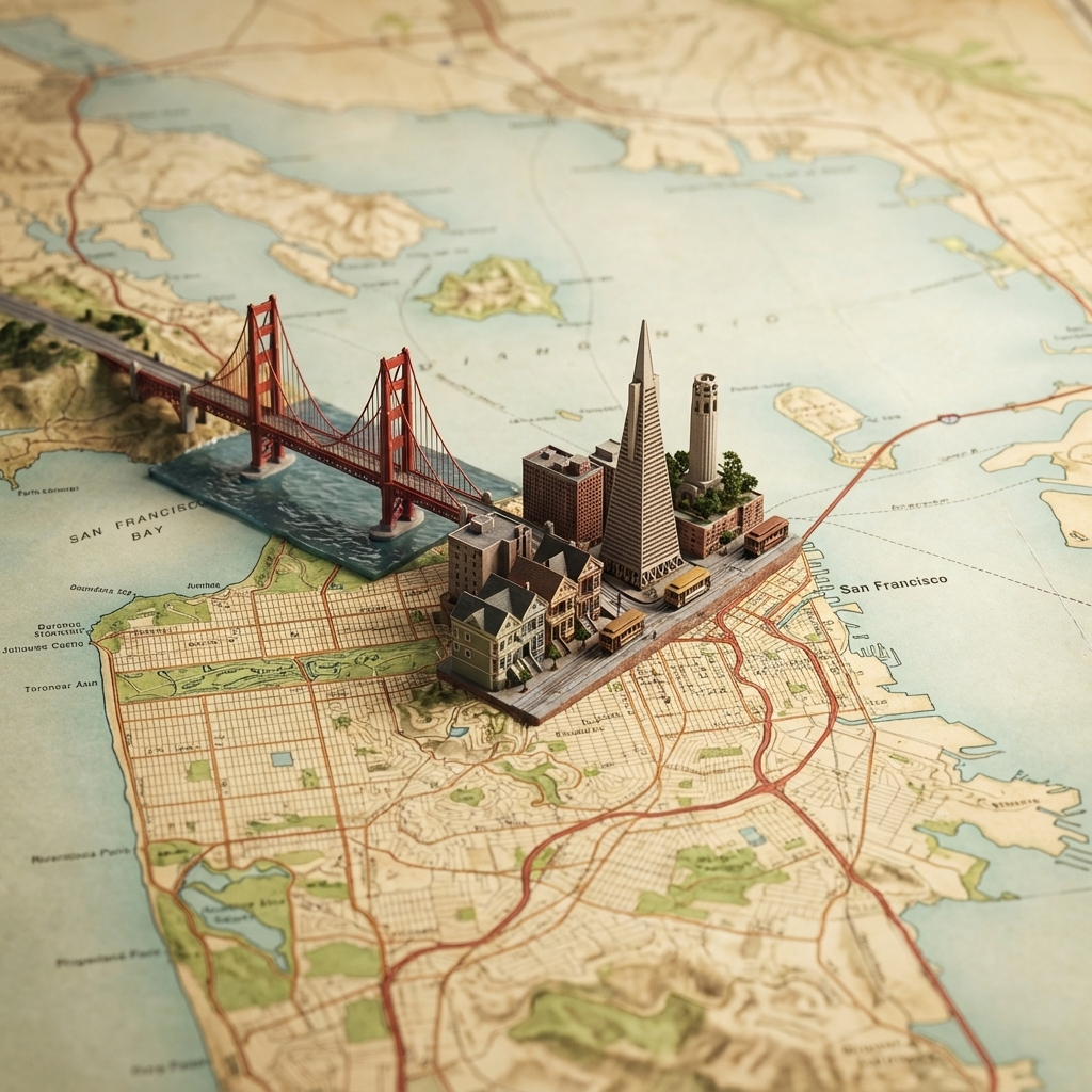
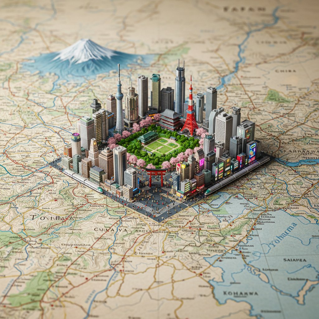
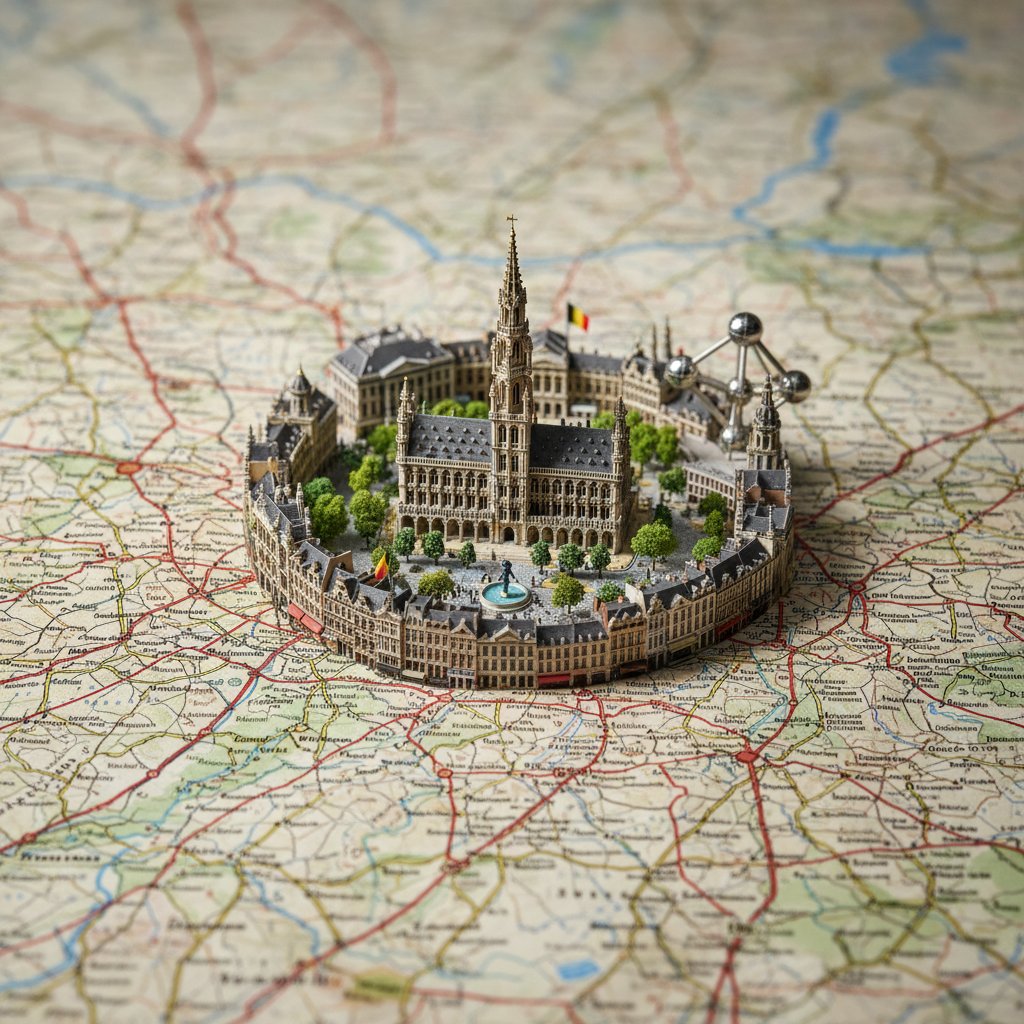
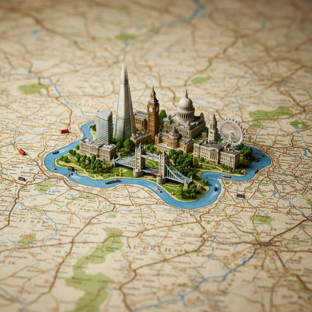
A realistic, highly detailed geographic map viewed from above, accurately representing the region where [COUNTRY] is located. Rising from the map is a miniature 3D diorama of [CITY], precisely positioned at its real geographic location. The diorama features iconic architecture, natural landmarks, and cultural elements seamlessly emerging from the map surface. Ultra-realistic materials, fine textures, and depth of field. Soft studio lighting with subtle shadows, cinematic composition, premium macro photography style. Square 1:1 format, high detail, realistic scale.
Sample Images